Woodland and Welsh Newton
Walk routes
Woodland and Welsh Newton
This is a 8.2km miles (approx) walk which will take about 2.5 hours at a relaxed and leisurely pace.
There are a few hills but no steep inclines.
Start at Llangrove bus stop and cross the village hall park then follow the pathway to the kissing gate behind the building and turn right onto the lane passing Orchard Cottage on the right. At the mini-crossroads of lanes, continue straight ahead at Crossways Cottage with bungalows to your right and modern housing to the left.
At the end of this short lane is another joining of lanes. Continue straight ahead passing Hillview Cottages on the right and following the arrows of the Herefordshire Council sign on the stumps with large, detached houses to the right overlooking an open field to the left. Ignore the stile in the hedge and continue straight ahead.
*A number of lanes footpaths now converge so please take care here to follow the correct path*
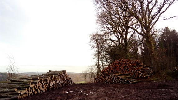
Follow the lane to the left passing Hazelbank Cottage on the right. The lane bends to the right with Quarry Cottage on the right. The lane then descends into an area of woodland with a rough stone track and open fields to the left. The path, a bridleway, bends to the the left and starts to climb.
Allow about 15-20 minutes on this uphill stretch to reach the peak with Little Hall on the left and take a well earned break to admire the views over rolling countryside. This is the main hill of the walk now completed. The bridleway now joins a tarmac lane and starts to descend making a welcome relief from the long ascent.
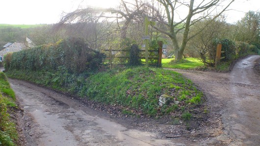
With Newton Lodge (Chaff House, Cider House, The Stables, Owl House and The Mill) on the left and the lane now bearing to the right, keep left following the public footpath sign and follow the path between the stone wall of The Coach House to the left and a new'ish large timber building to the right. At the top with Myrtle Cottage on the right, cross the lane and continue to follow the footpath through woodland, Newton Wood, straight ahead following the yellow arrow.
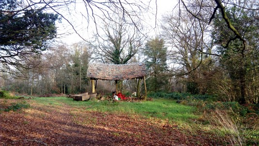
The path soon opens to the right into fields with resident ducks and hens then joins the lane. Turn left passing the relics of a former church on the left, the lane to Welsh Newton Post Office on the right and an unusual structure within grounds on the left...
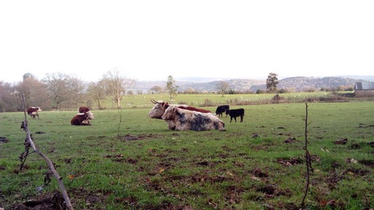
Continue to follow this quiet country lane passing St Wulstan's Farm with grazing sheep/cattle to the left and views toward the hillside of The Doward beyond.
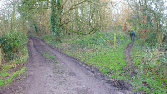
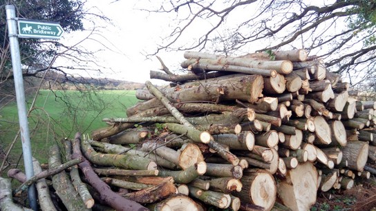
At the farm entrance on the left, continue straight ahead along the bridleway towards the woodland of Morgan's Grove until you reach the convergence of several routes, turn left following the public bridleway sign.
(4.6km) After a short distance following the bridleway downhill, keep a lookout for a gap in the hedge on the left leading to a metal gate through which the bridleway continues.
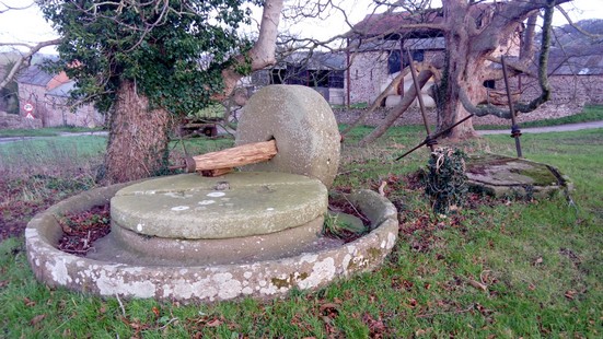
This now is a very easy section of the walk as the pathway gradually descends through three fields, with views towards The Doward to the right. Eventually the path joins a concrete track, crosses a cattle grid and emerges on the lane at Lewstone beside large stone house, Lewstone Farmhouse. Turn left with Lewstone Farmhouse on the right and stone barn to the left and continue along this lane noting the former cider press in the grounds of Lewstone Farm a little further along on the right.
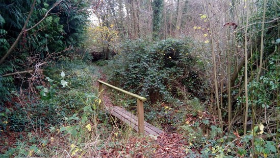
Do not pass these but follow the no through road on the left signposted 'Stocklands'. Pass Lewstone Cottage on the left then continue along towards a large pink house, follow the footpath to the right which passes its frontage between the hedges. The path descends into woodland accessed via a small timber footbridge crossing the stream then continues alongside the stream.
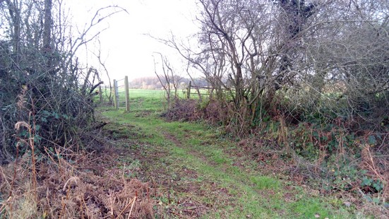
After a dilapidated stone building on the right, the pathway opens out to the right, climbs for a short distance then returns to the stream beside a stile. Cross the stile and bear left continuing alongside the stream, now to the left, then follow the pathway up the hill, through an opening in the fence into a second field, in the far left corner of which is a stile leading onto a quiet lane.
(7.5km) Cross the lane to the stile entering woodland with a kissing gate shortly before an former narrow track. Proceed through the second kissing gate and head up the bank following the track between the trees to a stile at the top – this being the last climb of the route! Enter the field in which cattle or sheep are often grazing, and follow the path alongside the hedge to the left to the last stile of the walk in the far left corner which leads onto the Llangrove road. Turn left and follow the road through the village, passing the church and Llangrove Academy on the left and then turn right towards the Village Hall to return to the bus stip and complete the walk.
K Wren
Route compiled and checked in January 2016
This route is intended as a guide to some of the local footpaths around the Llangrove area. No liability can be accepted for any errors or omissions.
All paths were clear and passable at the time of writing. Footpaths can become wet and muddy following wet weather so stout footwear is advised.
Download a PDF copy of this walk by clicking HERE...
The route can be saved to your computer by right-clicking on it and selecting 'Save As'
To print a copy, right-click and select 'Print'.